![Commander! Want to get the best brown in Galaxy? Try BeBeCe [-8,-11]](rollobradv.gif)
Ale in all facilities available during the trip
is sponsored by Brown, the Premium BeBeCe Ale. Approved by Squirrel Nutkin,
first-class.
Information updated:
3/10/2002
Btw: sorry for the "real" dates, but I think it
is easier to read the actual date than having to calculate it. Just change
the "2002" bit for, let's say... 3298?
Photographs and maps:

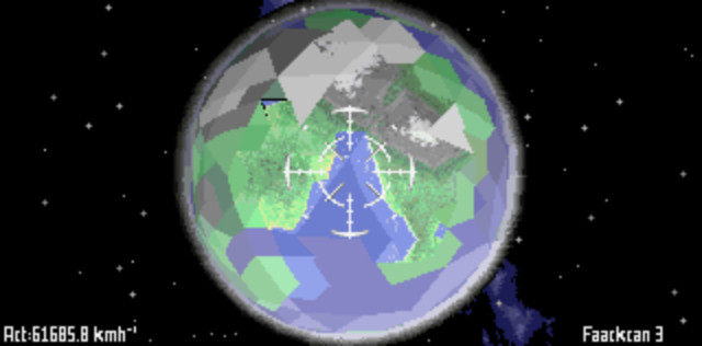
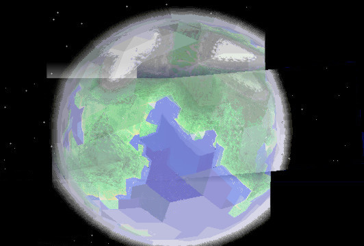
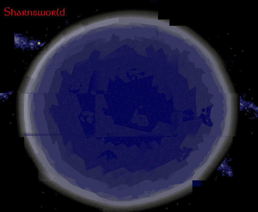
Sharnsworld, probably the most interesting planet in the whole system. The photograph above confirmed the suspected structure as seen through the Thargoid telescope from Polaris, this one photographed from the Tiercel. On the image below, we can see much more detail, this map was made from a long distance, by mapping system carried by the Wyverns. Actually composed of seven parts.

On the other side of the planet is the largest ocean. The Wyverns flew in closer, and made this beautiful panoramatic high-resolution map. You can see the distant coastline on the left side of the image. This map is composed of more than 15 parts. A similar high-resolution map of the bay on the image above is being processed. Photographs from the surface and various other data is still being processed, too.

On the image below, you see the encounter of the Tiercel during the second mission with the MB4 mining machine left behind during the first mission. We still do not know what caused the damage of the machine. Click on the image to see it enlarged.